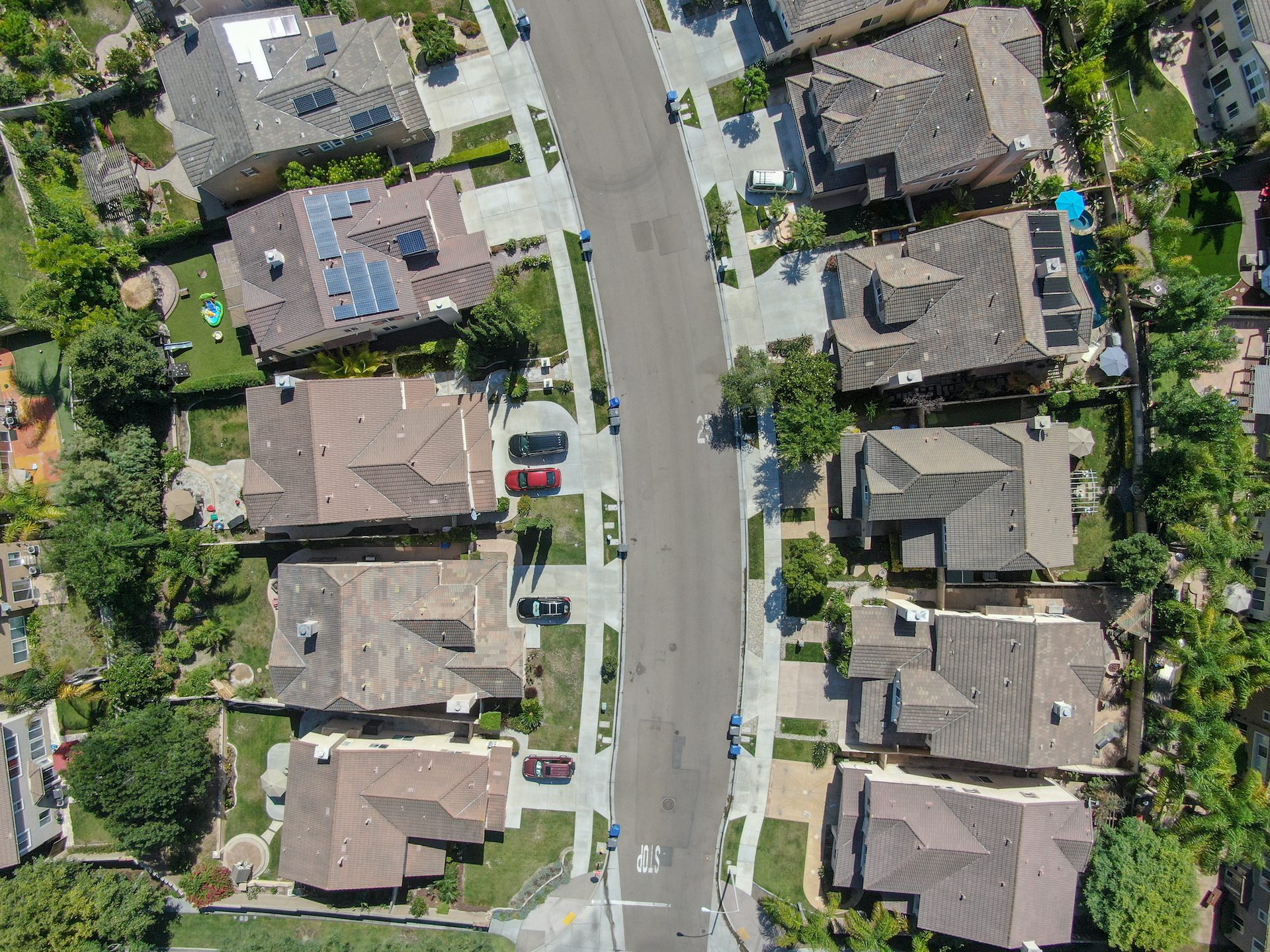
A boundary survey is a graphic representation of a surveyor’s professional determination of the metes and bounds of a given plot, parcel, or tract of land-based upon existing physical evidence, field measurements, and diligent research. Boundary surveys are typically performed for the purposes of design, conveyance, resolution of property disputes, or obtaining a mortgage/bank loan. Only a survey prepared by a licensed land surveyor can describe and clarify where the boundary line is in reference to existing structures on your property.
ALTA Surveying
Boundary Survey
As-Built Surveys
The main purpose of an as-built survey is to ensure that construction is progressing as designed and approved. Survey measurements obtained during/after construction control include:
- Elevation/Heights
- Horizontal Positioning
- Dimensions
- Configuration
- Alignments
Topographic, Engineering, & Architectural Surveys
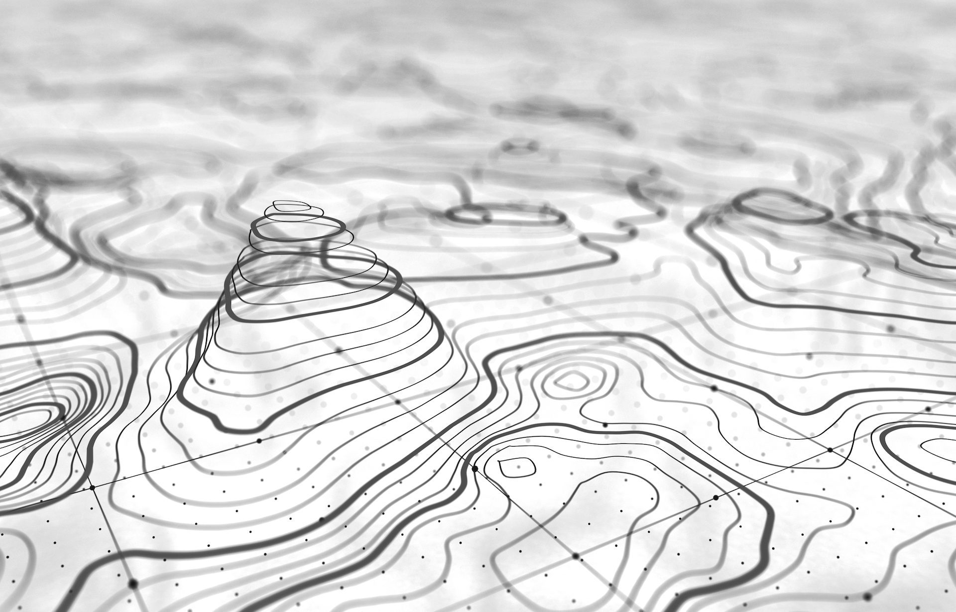
This type of survey describes the topography of your property and locates physical features present onsite. The resulting plans include, at a minimum, the following property details:
- Elevations
- Land Contours
- Buildings
- Improvements
- Utilities
- Outcrops
- Trees
- Streams
- Fences
Stakeout / Layout for New Construction
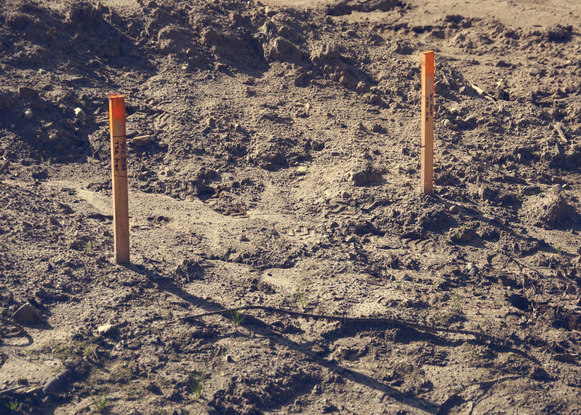
Contractors cannot begin work on a construction project until the dimensions and features of the construction plans are accurately mapped onsite. The best-drawn plans and blueprints can fall short if not implemented properly, or if unforeseen issues onsite create problems during the construction process. Construction staking enables builders to visualize the exact location and dimensions of all features within the plans. At a minimum, the T-Square Surveying Team provides the following as part of this service:
- Stakeouts for new construction showing contractors where and how to construct various types of improvements based on an approved design;
- Physical marks placed on the property showing builders where the footprint of a building is located;
- A drawing of the marks and their relation to the building;
- Benchmarks placed on-site in relation to the finished first-floor elevation of the proposed building(s).
Present dimensions and features for new construction with a reliable Surveying Company in TN.
ALTA Surveys
Sometimes considered to be the pinnacle of surveys, an ALTA survey is one that is performed in accordance with the Minimum Standard Detail Requirements set forth by the American Land Title Association (ALTA) and the National Society of Professional Surveyors (NSPS). The ALTA is special because of the unique way that it addresses title insurance matters through the utilization of the Surveyor’s Certificate. An ALTA specifies the data to be shown on the survey and includes:
- Boundary Lines
- Location of Main Building and Improvements
- Location of Ancillary Buildings
- Identification of Easements (access rights by service companies such as water, gas, telephone, railways, and other utilities)
Subdividing, Lot Merging, or Lot Line Adjustments
This survey is used to split or merge an existing parcel(s) of land. The decree and consequences for splitting lots can vary vastly, depending on the governing jurisdiction of the municipality. T-Square’s Surveying and Engineering Team understands these rules, ensuring that the proceeding plans will be accepted.